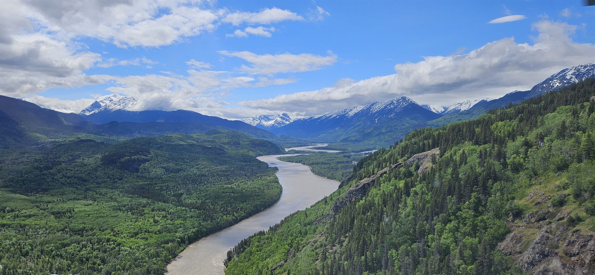
Northern Headwaters · A guided tour
The Klappan
Klabona — the Sacred Headwaters. Three of BC's great salmon rivers are born in one high basin, in the Tahltan homeland. Scroll — we'll show you where, and why it's finally up for protection.
1 · Where you are
Start with the whole map
This is the Klappan, in the Tahltan homeland of northwest BC. Highway 37 and the village of Iskut are off to the west; Dease Lake is up the road. The big provincial parks — Spatsizi, Stikine River, Mount Edziza — wrap around it. The corner map shows where you are in BC.
The orange dashed line is the conservancy on the table right now. We'll take it a piece at a time.
2 · Klabona
Three rivers, one basin
Tahltan people call this the Klabona — the Sacred Headwaters. In one subalpine basin, three of the biggest salmon rivers left on the BC coast all begin: the Skeena, the Nass, and the Stikine.
Purify the water at the source and you protect salmon runs hundreds of kilometres downstream.
3 · Mount Klappan
The coal that was never mined
This block is the former Coal Licence Purchase Agreement area — a rare, high-grade anthracite coalfield. Fortune Minerals and a partner held the licences; BC bought them back to buy time.
In 2025 the repurchase option expired, the licences were surrendered, and the coal was removed from the tenure system for good. Now this ground folds into the protection instead.
4 · The rail grade
The railway to nowhere
This dashed line is the Dease Lake Extension rail grade — started in the 1970s, abandoned in 1977 about 240 km short of the Yukon. For decades it's been the main way into the Klappan for Tahltan members and hunters.
It's eroding now, and unsafe for vehicles since 2021. The plan keeps it outside the conservancy for now, non-industrial access allowed, until the reclamation work is sorted out.
5 · The neighbourhood
It closes a gap between parks
Look at what surrounds it: Spatsizi Plateau Wilderness — one of Canada's largest parks — plus Stikine River, Todagin, and Mount Edziza. The Klappan is the missing middle.
Protect it and you knit the headwaters into one of the great connected wild landscapes left in North America.
6 · The whole picture
One conservancy, kept open
Zone A — the Sacred Headwaters basin — plus the old coal-licence block, together as a single Park Act conservancy. Jointly recommended by the BC government and the Tahltan Nation after seven years of shared planning.
The Tahltan title says it plainly: "Keep Our Trails Open."
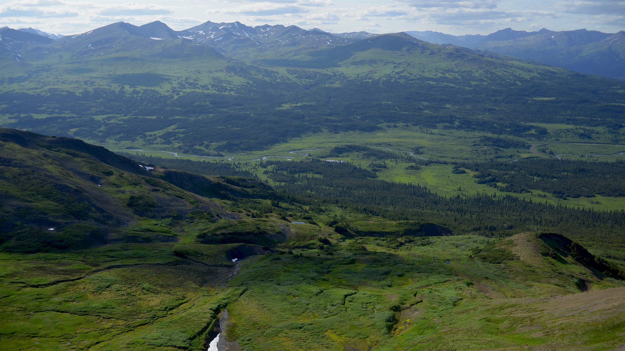
The Klappan is therefore more than a collection of things — of trees, waters and minerals — that can be taken apart without harming the whole. The Klappan is an integral part of the whole of Tahltan territory and culture.The Klappan PlanTahltan Central Government & the Province of B.C., 2019
Photo: Dan Mesec
What "protected" actually means here
For seven years, Zone A has already lived under this arrangement — hunting, fishing, snowmobiling and guiding carrying on as before. Making it permanent isn't a new set of rules. It's keeping the one that's already working.
A protected area under BC's Park Act, established jointly with a First Nation. It bars industrial development while protecting recreation and Tahltan cultural use. A conservancy does not hand any one group a veto over access — it sets the purposes the land is managed for, and recreation is explicitly one of them.
The allowed list comes straight from the joint Klappan Management Board, which includes Tahltan representatives. No operating mine exists in the basin; the coal licences are gone. Small run-of-river hydro remains possible. The rail-grade corridor is initially kept outside the boundary while its reclamation is planned.
You've seen the map — now it's your turn
Make your voice heard
Decades of planning have led to this, and the final decision now rests with BC and the Tahltan.
Send a message to decision-makers Go back to main pageThe form takes about 5 minutes. Your message goes straight to the decision-makers.