Northern Headwaters · Explainer
3 Million Hectares of Northern BC's Best Game Country Is Being Proposed for Protection. Here's the Plan Behind It.
The Kaska Dena's proposed Dene K'éh Kusān conservancy — roughly the size of Vancouver Island — would protect boreal headwaters, seven caribou herds, and a way of life that has sustained Kaska communities for millennia, while keeping hunting, guiding, recreation, and targeted mineral development clearly on the map.
If you want to understand how big the Kaska-B.C. Land-Use Planning area is, try this: the total project footprint is 9.9 million hectares, roughly 10% of the entire province of British Columbia. The Kaska Dena's traditional territory spans BC, the Yukon, and the Northwest Territories — about 24 million hectares in total, an area comparable to the state of Oregon. The BC portion alone is some of the most remote, intact, and least-planned land in the country.
For decades, remoteness did most of the work: few roads, little industry, and what formal protection existed — mainly the Muskwa-Kechika Management Area — covered only part of the picture. The land-use planning process now underway is the Kaska's effort to set the terms before the pressure arrives, rather than fight it piece by piece after it does.
What Kaska territory looks like
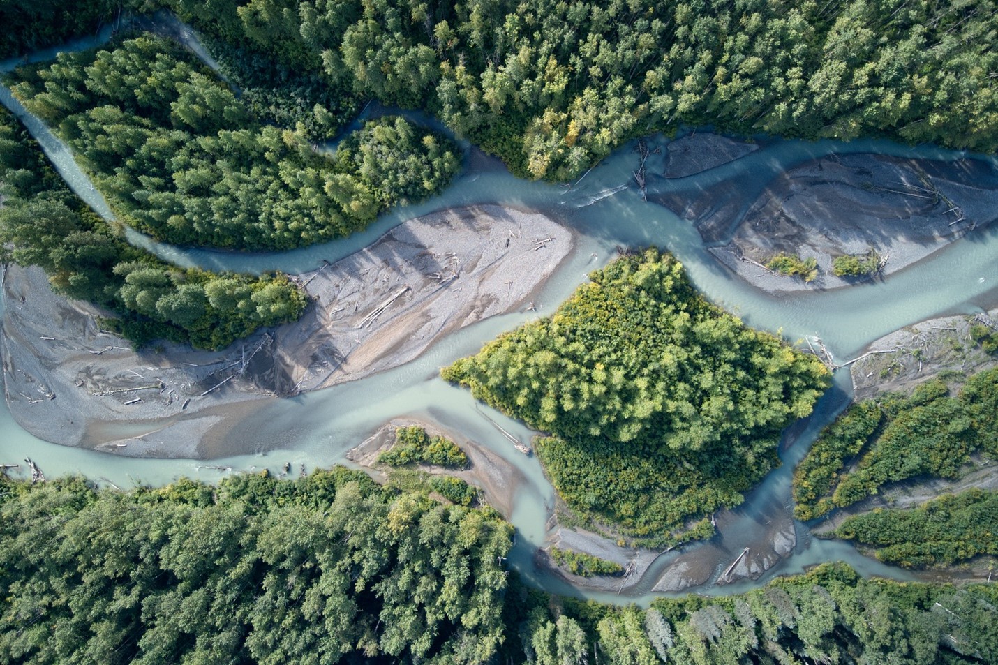
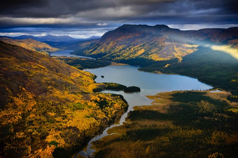
Northern BC's Kaska country sits in the boreal transition zone east of the Cassiar Mountains, draining into the Liard River system and ultimately into the Mackenzie. It's a different landscape than the coastal salmon rivers to the west — bigger, flatter in the lowlands, more dominated by boreal spruce and muskeg. The Kechika, the Toad, the Racing, the Rabbit, the Turnagain: these are the rivers that define this country, most of them still roadless, most of them almost unknown outside of the Kaska Dena, who have been here for thousands of years, and the guide-outfitting and hunting community that's been working this territory for generations.
The wildlife picture here is defined largely by caribou — seven distinct herds use the Kaska planning area, including some of the last boreal woodland caribou populations in BC that are holding anything close to historic numbers. Moose, Stone sheep, mountain goat, grizzly bear, and wolf round out what is, by any objective measure, one of the richest intact ungulate and large-predator landscapes remaining in North America. That's not conservation language — it's why the guide-outfitting business in this part of BC has historically been viable and why it remains so.
What Dene K'éh Kusān means and what it proposes
Dene K'éh Kusān (pronounced roughly deh-neh KAY koo-SAN) translates from the Kaska language as "Always Will Be There" — a name chosen to reflect the Kaska understanding that protecting this land is not separate from living on it, but the same thing. The Kaska have been developing this proposed Indigenous Protected and Conserved Area (IPCA) for years, well before the current BC-Kaska planning process began.
The draft plan released July 2, 2026 proposes a conservancy designation for Dene K'éh Kusān covering approximately 3 million hectares — the heart of Kaska ancestral territory in BC, encompassing intact watersheds, caribou range, ancestral trails, and cultural and ceremonial sites that connect Kaska communities to the land across generations. The name and the proposal come from Kaska elders and leadership; the BC government's role in this planning process is to formally recognize and legally establish what the Kaska have already identified as the irreplaceable core of their homeland.
This isn't a first designation on open ground. More than 92% of the proposed Dene K'éh Kusān boundary already sits inside the existing Muskwa-Kechika Management Area — a special management zone that's had its own land-use provisions in place for decades. What's being proposed is a step up in protection status for land that's already managed under a distinct set of rules, not a new lockup of unregulated Crown land. The boundary itself has also already moved: through engagement with Kaska communities, the public, and industry, the originally proposed area was reduced by more than 20% to reach the 3.06-million-hectare figure now on the table.
Outside Dene K'éh Kusān — the remaining roughly 4.8 million hectares of the planning area — existing land-use plans continue to apply, including the Fort Nelson, Mackenzie, and Cassiar-Iskut-Stikine LRMPs, which allow for economic development and industrial activity. The draft plan also proposes updating the Dease Liard Sustainable Resource Management Plan (covering 2.1 million hectares) to enable mineral exploration and development in targeted high-potential areas, with streamlined permitting processes and clearer consultation timelines. The structure of the proposal is explicit: protect the core, enable development in the right places outside it.
What stays, what goes
Inside Dene K'éh Kusān, the conservancy is designed to maintain the uses that have always defined Kaska country — and that define the region's non-Kaska economy too.
The guide-outfitting operations that have run in this territory for decades — some of the most highly regarded sheep, moose, and caribou hunts in the province — are a central part of what the conservancy is designed to sustain, not an afterthought. The Kaska have been explicit that growing the conservation economy, including hunting and wildlife-based tourism, is part of what makes permanent protection viable for their communities. This is what Gillian Staveley — director of culture and land stewardship at the Dena Kayeh Institute — points to when she talks about building "meaningful land-based livelihoods": it's not an abstract concept, it's guide outfitters, tourism operators, trappers, and Kaska land-based programs, coexisting on the same ground.
Outside the conservancy, mineral development is explicitly enabled in the updated Dease Liard SRMP area, with shorter and more predictable consultation timelines — a direct response to industry feedback that uncertainty and slow process timelines are themselves a barrier to investment. Mining companies including Cronin Exploration have publicly supported the draft plan on exactly these grounds: the conservancy provides certainty about where development is and isn't appropriate, which the current patchwork of plans and case-by-case negotiations doesn't deliver.
The scale of what's being protected
Three million hectares is difficult to hold in your head as a number. To put it in context: it's roughly the size of Vancouver Island, and roughly the size of Belgium. It encompasses the headwaters of multiple river systems that drain into the Liard and Mackenzie, boreal forest carbon stocks of national significance, and the only remaining habitat where several of BC's most stressed caribou herds have any realistic path to long-term survival.
Caribou in BC's boreal north face the same fundamental threat as mountain caribou further south — industrial disturbance fragmenting habitat and elevating predator populations through the linear-feature and moose-forage dynamic — but in Kaska territory the intact core is still large enough that protection has a realistic chance of being ecologically meaningful, rather than preserving habitat fragments too small to support viable herds. Seven herds. That's the kind of scale that changes population-resilience math. Protecting Dene K'éh Kusān at 3 million hectares is one of the few remaining opportunities in Canada to protect boreal caribou habitat before the disturbance threshold is crossed — rather than after, which is the situation now facing herds further south in BC.
Why this matters for salmon country
The Kaska planning area drains east, not west — its rivers run to the Liard and the Mackenzie rather than to the Pacific. But the connection to salmon country is real and worth stating plainly: the Stikine, the Skeena, and the Nass all head up in ranges and plateaus that abut or overlap the Kaska territory boundary. Industrial development pressure doesn't respect watershed divides, and the road and mineral tenure networks that would develop in Kaska country without this plan would not stay neatly east of the continental divide.
More directly: the Kaska plan, the Klappan Sacred Headwaters protection, and the Meziadin conservancy proposal are three pieces of a connected puzzle. What's being built across northwest BC right now — through simultaneous planning processes with First Nations across the region — is the most significant conservation landscape in BC's history, stitched together from the Nass to the Liard. Each piece matters more with the others than it does alone.
How to have your say
The draft plan is now moving toward final decisions, and further engagement between Kaska First Nations and BC will follow before final cabinet decisions are made. You can still make your voice heard by sending decision-makers a message directly.
For hunters, outfitters, guides, and backcountry users whose access to Kaska country is part of what makes working and living in northern BC worthwhile: this plan is the most direct and durable protection those uses have ever had. It's worth reading — and worth speaking up for.
Show your support ↑