Northern Headwaters · Explainer
The Nass River's Most Important Salmon Nursery Is About to Get Protected. Here's What That Actually Changes.
A proposed 47,000-hectare conservancy expansion near Meziadin Lake would protect the largest sockeye nursery in the Nass watershed — while keeping snowmobiling, heli-skiing, hunting, fishing, and community access exactly as they are today.
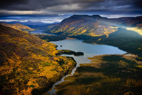
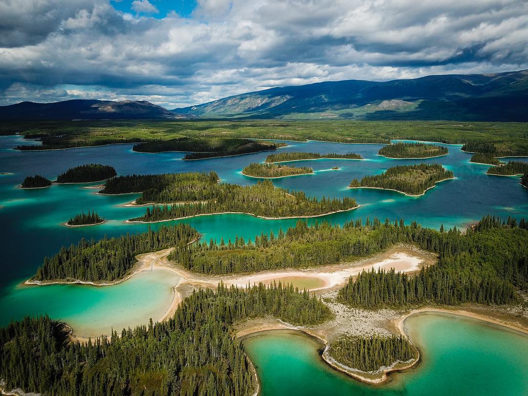
If you've driven the Highway 37 corridor, you've passed through it without necessarily knowing what's there. The Meziadin River watershed — a 642-square-kilometre drainage northwest of Kitwanga Junction — sits in the northern Coast Mountains where glaciers are still retreating and cold, clear creeks empty into one of the deepest lakes in the province. What happens in those creeks accounts for roughly 75% of the entire Nass River's sockeye salmon run.
That's not a small number. The Nass sockeye fishery supports an Indigenous subsistence harvest valued at close to $4 million annually, plus guided angling, commercial fishing, and ecotourism across the region. It's a renewable resource — but only if the habitat that produces it stays intact.
What's being proposed
The BC government, Gitanyow First Nation, and Nisga'a Nation are jointly recommending a 47,000-hectare westward expansion of the existing Hanna-Tintina Conservancy — the protected area that has been safeguarding Hanna and Tintina creeks since 2013. The proposed expansion adds Strohn Creek, Surprise Creek, and other key tributaries of Meziadin Lake to that protected footprint, creating a single contiguous conservancy.
The reason for the expansion comes down to a glacier. As the Bear Glacier retreats, Strohn Creek — which flows into the northwest end of Meziadin Lake — is gradually becoming warmer and less turbid. Salmon that used to spawn almost exclusively in Hanna and Tintina creeks are shifting their distribution toward Strohn and Surprise creeks in response. A 2016 radio telemetry study found 41% of Nass watershed sockeye returning to Strohn Creek — a creek not currently protected by anything. The existing conservancy boundary was drawn based on where the fish were in 2013. The expansion draws it based on where they're going.
What stays the same for people who use this land
This is where a lot of people tune out conservation proposals, expecting the answer to be "most things get restricted." For this particular designation, the answer is different.
The BC government's own proposed use table — agreed to by all three parties — lists snowmobiling and heli-skiing as explicitly allowed activities. Hunting and fishing continue under existing Wildlife Act and Fisheries Act frameworks; a Park Act Conservancy designation doesn't alter those. Tourism, guiding, recreational access, and low-impact economic activities compatible with conservancy values all stay. The existing Highway 37 and 37A rights-of-way, including gravel pits serving those highways, are expected to be excluded from the final boundary anyway.
What gets prohibited: mining and mineral exploration, commercial logging, large-scale hydroelectric development, and oil and gas. The 33 existing mineral tenures in the plan area — covering about 12,343 hectares — would be retired if the conservancy proceeds.
To put the mining restriction in scale: retiring those tenures would reduce the total mineral tenure area in the broader Nass South planning region by 1.8%, leaving 89% of that planning area still open to mineral exploration. No operational mines exist in the Meziadin Plan Area, and forestry hasn't operated there in over a decade. No active mine or operation is being displaced — the cost is foregone future opportunity, weighed against the concrete, ongoing value of one of BC's most productive salmon systems.
Why this matters beyond Meziadin
The conservancy expansion would protect more than sockeye. The plan area holds habitat for dozens of species at risk in BC, over 1,650 hectares of priority old-growth forest, and 23,000-plus hectares of mountain goat winter range, plus high-quality grizzly bear and moose habitat. It also protects 60.8 kilometres of glacier-fed streams — the cold-water refuges that give salmon somewhere to go as summer temperatures keep rising.
How to have your say
The proposal is now in front of decision-makers — and you can still make your voice heard by sending them a message directly.
The planning team — BC government, Gitanyow First Nation, and Nisga'a Nation — will review all feedback before a final recommendation goes to cabinet.
For people who use the Highway 37 corridor, hunt or fish in the Nass watershed, or run tourism and guiding businesses in the region: the conservancy is designed around your continued presence on this land. The question on the table isn't whether people belong here — it's whether the salmon nursery that makes so much of that use possible will still be intact in twenty years.
Show your support ↑